

GIS + Design
This collection showcases the intersection of geographic information systems (GIS), data visualization, and thoughtful design. From spatial analysis to storytelling through maps, each piece reflects how data can shape our understanding of place, movement, and impact.
2024 Texas Eclipse Storymap
What drives a family to chase shadows across continents and generations? In the Shadow of the Moon documents the Martin family’s pursuit of the April 8th, 2024 total solar eclipse, combining spatial analysis, narrative storytelling, and
original mapping. This digital storymap captures both the logistical complexity and emotional gravity of eclipse chasing, from tradition and planning to the clear skies that made it all worthwhile.
Town of Warsaw, VA Comprehensive Plan Maps
This project involved producing a professional-quality map series for the Town of Warsaw’s Comprehensive Plan as a graduate assignment. The focus was on visual clarity, consistent formatting, and effective communication of land use, zoning, and infrastructure data to reflect real-world planning standards.


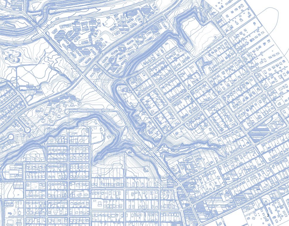
Greater Fulton Neighborhood Land Use Plan – GIS Analysis
and Cartographic Design
This series of custom GIS maps supported a Land Use plan for Richmond’s Greater Fulton community. The maps include current land use, future land use recommendations, development priority, and designated policy districts. Each map was developed using parcel-level data and symbology designed for clarity, consistency, and interpretability.


Small Area Plan for an Underused Commercial Site
How can a former grocery store site become a catalyst for neighborhood reinvestment and vitality? This small area site planning project for Henrico’s Department of Community Revitalization focused on the former Farm Fresh on Williamsburg Road. Developed as part of a team effort, I led the GIS analysis and design work, producing maps and 3D visualizations to support planning decisions and illustrate redevelopment potential.


